Lines · Draw or tap out a line
Measure distance on a map of New York
Measure distance on a map of New York by tapping out a line, corner by corner, over aerial imagery. The length appears instantly, in feet or miles.
It is the plan distance. On steep ground the fence you buy is longer; draw the same line with Elevation Profile to get the climb.
Free to run · pay to download
Free to run, and free to save as a PNG image of the map. This tool has no file export of its own. For the terrain as a file, Download Data exports contours, a GeoTIFF or a 3D mesh with a pass: US$29 for 24 hours, US$99 for 30 days or US$399 for 12 months.
Who uses this
- Farmers, ranchers and owners. Price a fence, a hedge or a pipe run before pacing it out.
When to use it
- A quick length for a fence line, a pipe run, a hedge or a boundary before you pace it out.
- Checking how far apart two places are without the terrain getting in the way.
Tools for your job
Measure is one step in a bigger question. These are the jobs it helps with, and the tools that go with it.
For the job: Hikes, runs and rides
How much climbing, and how far?
- 1.Elevation Profile — Distance, total climb and descent, and the steep sections.
- 2.Elevate a File — Replaces the noisy altitude in a GPX from a watch or phone with lidar ground elevation.
- 3.Measure (this tool) — A quick flat distance between points.
How to use it
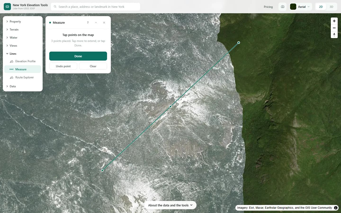
- Open Measure and tap out the line, corner by corner. Undo removes the last point.
- Choose Done. The panel shows the total length and how many points the line has.
- Draw new line to start again.
Step by step: Mount Marcy
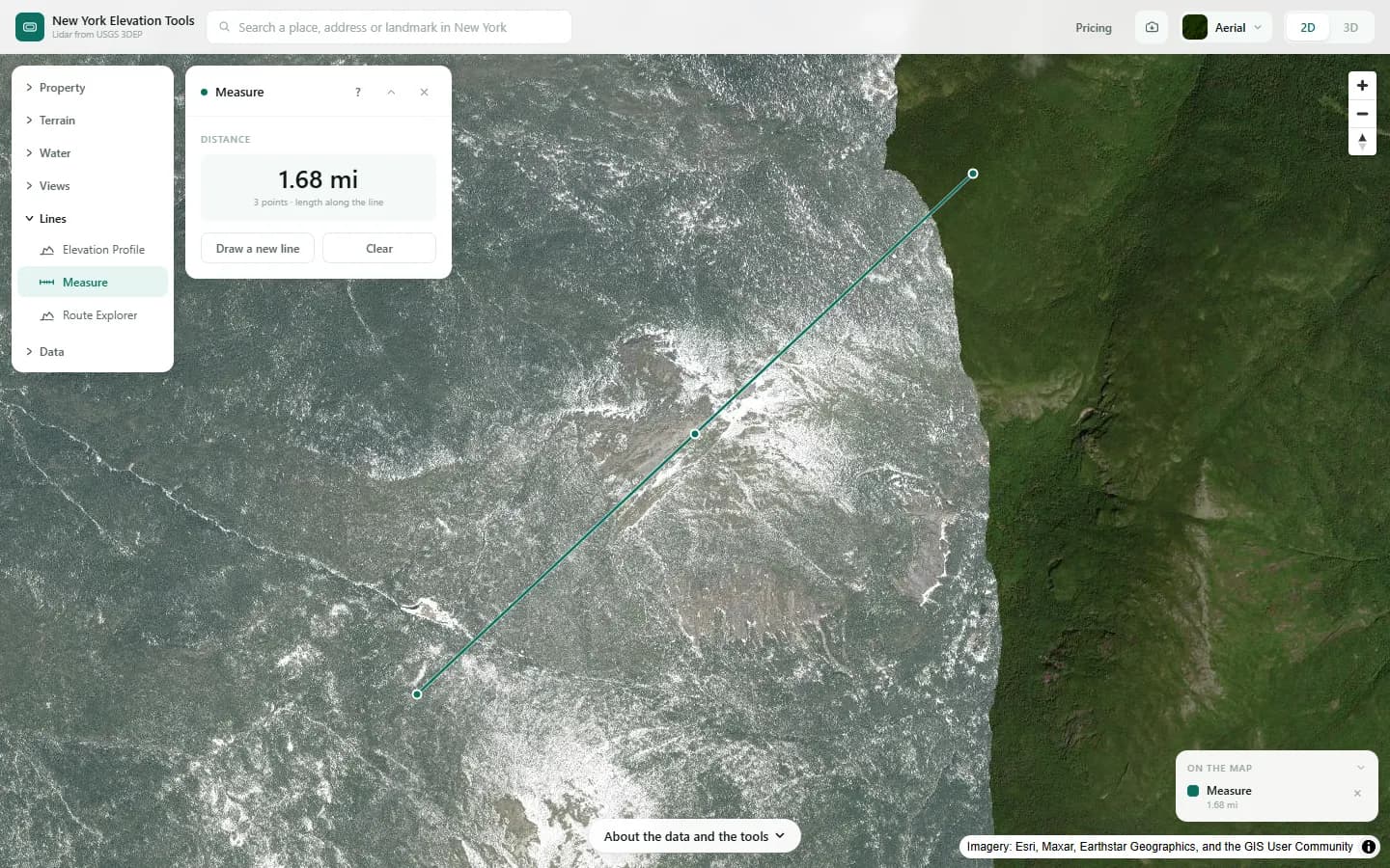
We measure the same line across the example area.
What it showed
- Measure gives flat distance only. For climb and grade, draw the same line in Elevation Profile.
Screenshots from New York Elevation Tools. Imagery: Esri, Maxar, Earthstar Geographics, and the GIS User Community. Elevation data from USGS 3D Elevation Program. USGS 3DEP data is in the public domain (U.S. Government work).
How it works
The length is computed on the earth’s surface between each pair of corners and added up. No elevation is read, which is why the result is instant and works anywhere on the map.
Reading the results
This is the plan distance, as a map or a site plan would show it. On steep ground the distance you walk, or the fence you buy, is longer: about 6% more on a 20-degree slope and about 15% more on 30 degrees.
For the climb along the same line, and the grade of each section, draw it with Elevation Profile instead.
Limits and caveats
- Flat distance only. It does not follow the rise and fall of the ground.
- Accurate to where you tap. Zoom in for corners that matter.
Data and attribution
Results come from the USGS 3D Elevation Program (3DEP) bare-earth elevation model: lidar at 3.3 ft per pixel where it has been flown, and the 1/3 arc-second model, about 33 ft per pixel, elsewhere, with elevations above NAVD 88. This edition uses bare-earth terrain only. Buildings and trees are excluded.
USGS 3DEP elevation and USGS maps are U.S. Government works in the public domain. Credit the USGS 3D Elevation Program. NYS public tax parcels are assessment data provided as is, not surveys. Esri World Imagery follows its own terms and is display-only; downloaded aerial imagery comes from USGS NAIP.
Questions
Does it allow for slope?
No. It is flat map distance. On a 20° slope the ground distance is about 6% longer, on 30° about 15%.
Ready to try it?
Open Measure on the map →Free to use, no account. The analysis runs in your browser on public-domain USGS 3DEP data. Downloading the results needs a pass: see pricing.